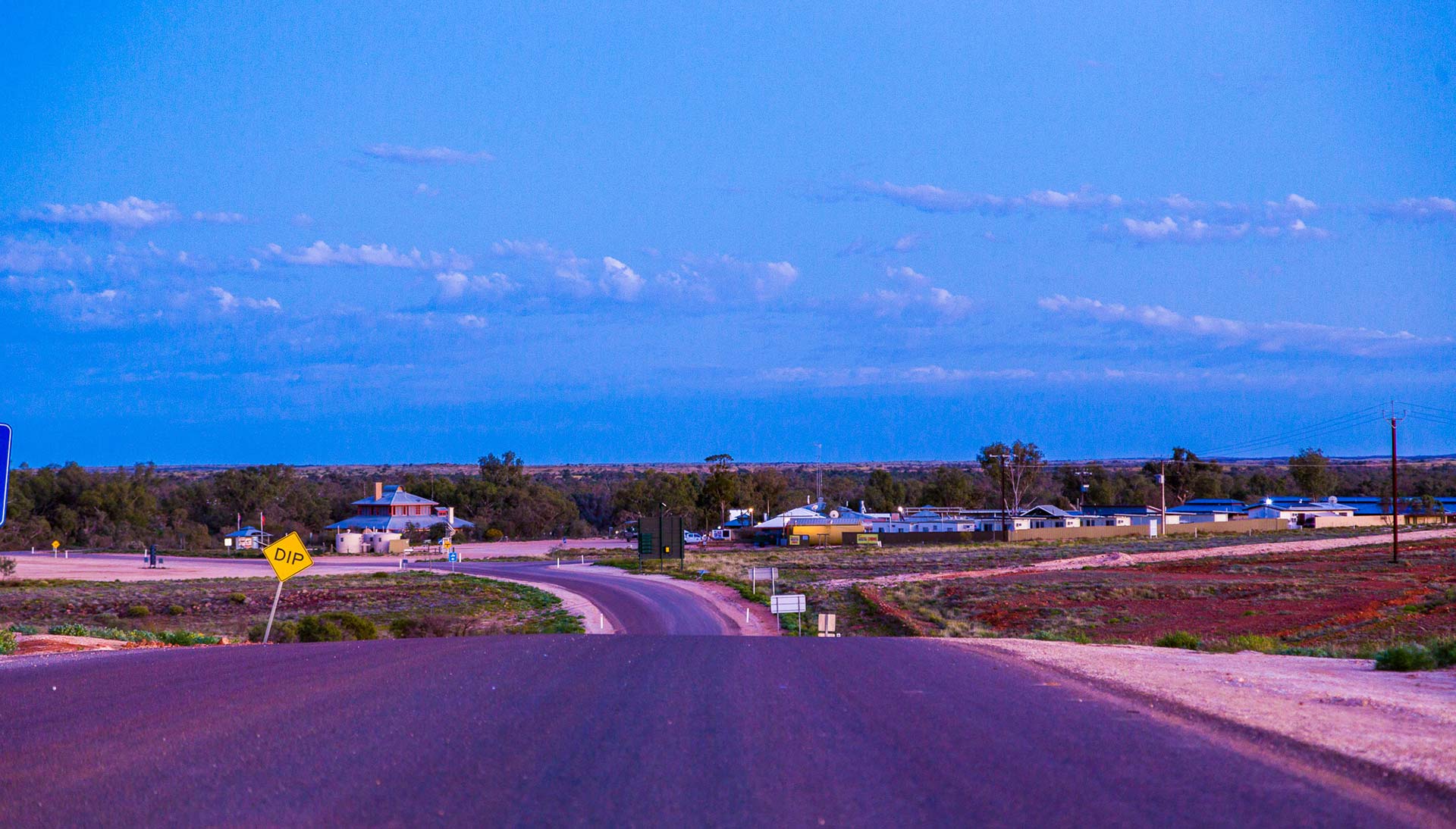
Making the drive to Innamincka by road will etch a lifetime of memories, no matter which route you choose.
From Lyndhurst via the Strzelecki Track (475kms)
Along with the Birdsville Track, the Strzelecki Track is a legendary stock route populated by pastoralists in the late 19th and early 20th centuries after rustler Harry Readford cheekily drove 1,000 head of stolen cattle down the track and sold them at Blanchewater Station before scarpering to Adelaide.
Later, and with the discovery of gas by Santos in the 60s, the track became a well-used route to and from Moomba and today some sections of the track are sealed to allow for overtaking. Depending on the season, travellers can expect corrugations, stones, bull dust and flooding after heavy rains.
Points of interest include Montecollina Bore, the Dingo Fence, Blanchewater Homestead ruins, Cobbler Desert, Lake Blanche, and the Moomba viewing platform.
From Birdsville via Cordillo Downs Road (424kms)
The Cordillo Downs Road links Birdsville and Innamincka and is part of The Outback Loop Itinerary. The road, which travels through the seemingly endless gibber plains of the Strzelecki and Sturt Stony deserts, is unsealed and recommended for 4WD vehicles only as road conditions vary dramatically depending on the weather and traffic. The Cordillo Downs Road links with the Birdsville Development Road from Windorah. Surprisingly, this rugged country is home to some Australia’s richest cattle country.
Points of interest include Dripie Creek, Cordillo Downs Historic Woolshed, and Caldelga Ruins.
From Birdsville via Walkers Crossing Track (365kms)
For the adventurous only, this 4WD only track links the Birdsville and Strzelecki tracks through dune country. It is only drivable during dry weather and closed over the hotter months between December and February.
From Thargomindah via the Bulloo Developmental Road (369kms)
The Bulloo Developmental Road is part of the Adventure Way and runs from Cunnamulla (via Thargomindah) to the Strzelecki Track just south of Innamincka. This is a fairly easy travelling with entire road sealed on the Queensland side up to the SA border. The last 19kms from the border is on an unsealed road but still easy to drive. Care should be taken if there has been recent rains or if the Cooper Creek is in flood.
Points of interest include Burke & Wills ‘Dig Tree’, Lake Bindegolly National Park, Leahy Historical House.
From Tibooburra via Cameron’s Corner (190kms)
After taking the Silver City Highway from Broken Hill, the roads from Tibooburra to Innamincka are all unsealed. The route takes travellers along Riecks Road past Cameron Corner to Merty Merty up to where it joins the Strzelecki Track to Innamincka. Like many of the roads in the area, the route is prone to flooding and all but impassable when wet. It also passes through the Sturt National Park and a pass may be needed. Care must also be taken when travelling in summer with extreme temperatures.
Points of interest include Cameron Corner marker, Cameron Corner store, the Dingo Fence.
From Innamincka to Coongie Lakes (115kms)
At the end of this 4WD only track through the Innamincka Regional Reserve lies the spectacular freshwater Coongie Lakes system. Camping is popular on the banks of the lakes but you’ll need a park access permit. The unsealed road has a sandy base and is impassable when wet.
See Also
- Phone, Internet, Wi-Fi Availability
- Getting to Innamincka by Air
- To Innamincka by Road
- Weather & Road Conditions
